Anlagenreihe B - Hochwasser-Risikokarten
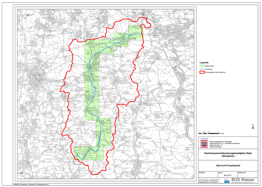
Blattschnitte der Hochwasserrisikokarten
Die Dateigröße je PDF variiert zwischen 1,4 bis 2,1 Megabyte.
HWRK_Gersprenz_R-01 [Stand: Mai 2015]
HWRK_Gersprenz_R-02 [Stand: Mai 2015]
HWRK_Gersprenz_R-03 [Stand: Mai 2015]
HWRK_Gersprenz_R-04 [Stand: Mai 2015]
HWRK_Gersprenz_R-05 [Stand: Mai 2015]
HWRK_Gersprenz_R-06 [Stand: Mai 2015]
HWRK_Gersprenz_R-07 [Stand: Mai 2015]
HWRK_Gersprenz_R-08 [Stand: Mai 2015]
HWRK_Gersprenz_R-09 [Stand: Mai 2015]
HWRK_Gersprenz_R-10 [Stand: Mai 2015]
HWRK_Gersprenz_R-11 [Stand: Mai 2015]
HWRK_Gersprenz_R-12 [Stand: Mai 2015]
HWRK_Gersprenz_R-13 [Stand: Mai 2015]


